views
Vijayawada: Severe cyclonic storm Vardah is likely to cross north Tamil Nadu and South Andhra Pradesh coast, close to Chennai, by December 12 afternoon. Wind speeds upto 90 kmph is expected to prevail at the time of landfall.
One Hundred and ninety milimetre rains are expected in 6 districts: Krishna, Guntur, Prakasam, Chithoor, Cudappa, Ananthapur over the course of next two days due to cyclonic storm.
Andhra Pradesh Chief Minister Chandrababu Naidu has appealed people along coastline to stay safe and take precautionary measure.
#CycloneVardah is expected to cross coast btw South Nellore &Chennai by tomorrow evening: Disaster management commissioner MV Seshagiri Babu pic.twitter.com/KqxNYV7ZNc — ANI (@ANI_news) 11 December 2016
According to IMD, the cyclonic storm Vardah, over west central and adjoining south bay of Bengal moved further westwards with speed of 11kmph.
Currently it is 520 kms south-southeast of Nellore, 490 kms east-southeast of Machilipatnam and 480 kms east-northeast of Chennai. The system is likely to maintain its intensity upto evening of December 11 and then likely to weaken gradually while moving towards south Andhra Pradesh coast and adjoining north Tamil Nadu coast.
Cyclonic storm Vardah over west central & adjoining south Bay of Bengal moved further west-northwestwards during past 6hrs with 20kmph speed — ANI (@ANI_news) 11 December 2016
Warnings have been issued along Andhra Pradesh and Tamil Nadu coast line.
Light to moderate rainfall at many places with isolated heavy to very heavy falls over south coastal Andhra Pradesh and north coastal Tamil Nadu is very likely to commence from December 11 evening for subsequent 36 hours.
Squally winds speed reaching 40-50 kmph gusting to 60 kmph would prevail along and off Andhra Pradesh and adjoining north Tamil Nadu coasts commencing from 11th December night. It will gradually increase becoming 70-80 kmph gusting to 90 kmph at the time of landfall.
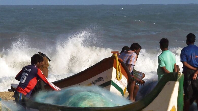
Sea condition would be rough to very rough along and off Andhra Pradesh and north Tamil Nadu coasts commencing from December 11 night. Sea condition along and off these coasts will become high from December 12 morning. Fishermen are advised not to venture into sea along and off south Andhra Pradesh, north Tamil Nadu and Puducherry coasts during next 48 hours.
The cyclonic storm is likely to weaken at landfall, but intensity may cause damage to thatched huts, minor damage to power & communication lines due to breaking of branches, major damage to Kutcha and minor damage to Pucca roads and some damage to paddy crops, banana, papaya trees and orchards.
The Chief Minister of Andhra Pradesh has cancelled his trip to UAE & Kuwait to monitor the situation. The administration is all geared up to deal with situation arising due to cyclonic storm. Four IAS officers have been appointed for each of the four districts: Nellore, Prakasam, Chittoor and Kadapa.
District collectors, police and all concerned departments have been instructed to be ready to carry out relief and rehab work. Also four NDRF teams are on standby to oversee rescue operations. Government is also taking help of ISRO to use latest technology to track cyclone progression and predict problem in advance, so that necessary emergency measures can be taken up.
In 2014, very severe cyclonic storm "hudhud" had hit coast of Vishakhapatnam and had caused massive damage. Intensity of Vardah is expected to be less, but administration is making all efforts to minimise damage.


Comments
0 comment