views
The meteorologists have sounded the alarm. A harsh season of intense heatwaves and soaring temperatures await India. After the hottest February on record, it has to now brace for a sweltering summer while waiting for the monsoon rains which are likely to begin under the shadow of a dominating climate system – El Nino.
The India Meteorological Department (IMD) has forecasted an increased probability of heatwaves ready to push mercury to record highs in April and May. But another worry that looms large is the return of El Nino – a global ocean phenomenon which is linked to a below-par monsoon.
Return of El Nino
After three consecutive years of an unusually stubborn and protracted La Nina, it is ready to pave the way for its counterpart El Nino. Scientists are certain that the sea surface temperatures of the equatorial Pacific Ocean are beginning to warm again.
To explain: The tropical Pacific Ocean swings between cool, warm and neutral phases on a timescale of a few years. La Nina is formed when the surface ocean waters are cooler-than-normal, whereas El Nino does the reverse. It leads to unusually warm ocean temperatures. The two events are a natural part of the global climate system, but they are significant as they influence temperature and rainfall patterns across the world.
In case of India, La Lina generally brings good southwest monsoon rains (June-September) and cooler temperatures over the country. For instance, the monsoon rains were nearly normal in 2021 and 2022 — when La Nina prevailed, El Nino, on other hand, has triggers droughts and deficient rains.
Will It Impact Monsoon?
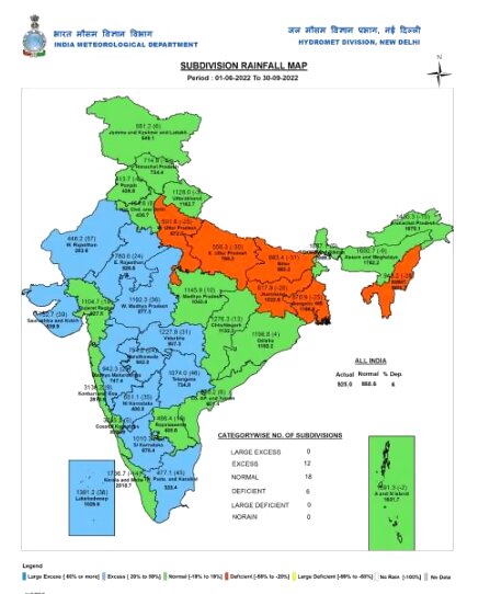
There are concerns, definitely. Especially when global warming is intensifying extreme weather and causing unusual changes which are becoming harder to predict. The monsoon itself is behaving erratically, with more intra-seasonal variations every year. Despite above-normal rains last season, a large part of the rice-sowing region – Uttar Pradesh, Bihar, Jharkhand and West Bengal was left parched.

According to scientists, El Nino has shown strong correlation with deficient rains in India historically. The El Nino event of 2015-16 had sparked intense heat waves, and poor rains that left farmers counting losses. This is worrying, especially for an agrarian economy like India where agriculture contributes 15-18% to its GDP. Especially, when monsoon provides 70% of the annual rains in the country.
The current signs are not encouraging. The US-based National Oceanic and Atmospheric Administration (NOAA) has declared the end of La Nina in its latest forecast. It has also stated that the ocean conditions are currently neutral, and they are likely to continue through the spring. But what happens after that, remains uncertain.
What Does The IMD Say?
It may be too early to predict. Global scientists are still trying to figure out if the current neutral conditions in the Pacific Ocean will pave for El Nino during the summer, or if it will be delayed further.
Though the latest forecast by NOAA favours ENSO-neutral through the summer, “with elevated chances of El Niño developing afterwards and persisting through winter”. But the scientists are not ruling out the impact of strong warming near South America which could lead to rapid evolution towards El Nino.
Scientists also highlight that the forecasts made during the spring are generally less accurate, and the exact picture may not be clear until mid-April or May. All in all, we might have to still wait and watch how the situation unfolds over the coming weeks.
Scientists at IMD have also been closely tracking the changes, and will come out with the first forecast of monsoon in the second-week of April.
Read all the Latest India News here


Comments
0 comment